The Original Team
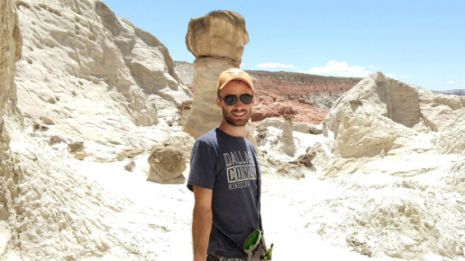
Austin Hallock Creator & Developer
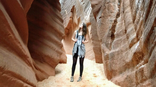
Rachel Hallock Designer
FreeRoam was built by Austin and Rachel while living full-time in their RV. It served over 100,000 users as a free, open-source tool for finding dispersed camping. When hosting costs exceeded community donations, Austin made the difficult decision to shut it down.
The Revival
We were avid FreeRoam users. When we returned to off-grid living while running our fitness app Saturday, we found FreeRoam gone. This revival runs on infrastructure that we hope will allow us to absorb the costs.
Alex Harrison & Michelle Howe — Saturday Inc.
Licensing & Attribution
- FreeRoam's front-end code was released under the Unlicense (public domain). This revival uses those patterns with gratitude.
- Basemap: OpenMapTiles / OpenStreetMap contributors (ODbL)
- Street and satellite basemaps: Esri and its data providers, Powered by Esri
- Topo basemap: OpenTopoMap (CC-BY-SA), OpenStreetMap contributors, SRTM
- Cycling basemap: CyclOSM, OpenStreetMap contributors
- Elevation shading: Terrain Tiles on AWS (Mapzen, USGS and others)
- Routing: FOSSGIS Valhalla (community-hosted) + OpenRouteService
- Geocoding: Photon (Komoot)
- US public lands: USGS PAD-US, USFS, BLM (public domain)
- US cell coverage: FCC Broadband Data Collection
- US recreation: RIDB + USFS EDW recreation sites (public domain)
- US roads/trails: USFS Motor Vehicle Use Maps (public domain)
- Canada public lands: CPCAD, provincial Crown land, Parks Canada (Open Government Licence - Canada)
- Canada cell coverage: ISED National Broadband Data (Open Government Licence - Canada)
- Mexico protected areas: CONANP/ANP (datos.gob.mx, Libre Uso MX)
- International cell towers: OpenCelliD (CC-BY-SA 4.0)
- Travel advisories: U.S. Dept of State (public domain)
- OpenStreetMap (ODbL) · POI data + basemap
- Boundaries: Natural Earth (public domain)
- Place weather: US National Weather Service; elsewhere based on data from MET Norway (CC BY 4.0)
- Satellite/fire/smoke/snow imagery: NASA EOSDIS GIBS
- Wind, rain and air quality: NOAA GFS and NOAA GEFS-Aerosols models (public domain)